
Depart: San Nazario (158 m)
Arrive: Col del Fenilon (1327m)
Elevation gain: 1169 metres total
Distance: 12 km
Walking time: 7 hours including stops for lunch and panoramic views
Difficulty: experience of mountain walking required
A historic path, known also as the Scalinata di Santa Nazara (the Santa Nazara Staircase). It ascends from the settlement of San Nazario, right up to the Colli Alti, affording views of parts of Monte Grappa, towards Bassano del Grappa and the Asiago Plateau, arriving on the Moschina road (Strada delle Penise).
The itinerary starts in San Nazario (150 m a.s.l.), in the Brenta Valley, about 10 km north of Bassano del Grappa. Arriving on the Strada Statale Valsugana from the south, as you pass the first houses in the village, turn right into a road that ascends to the large parking area in front of the Municipio town hall. If you’re arriving by train at the local station, you can reach the centre on foot in five minutes.
You can start the route by following the mule track that comes out at the side of the church, taking you immediately up above the village. After a few minutes the track merges with mule track CAI 38. Or, once you head out of the village to the west, you reach the Valduga furrow where you’ll pick up signs for Pian Castello. Follow CAI 38 for this excursion, which starts at the watershed of Valduga, about 200 metres further north and a little lower down than the parking area.
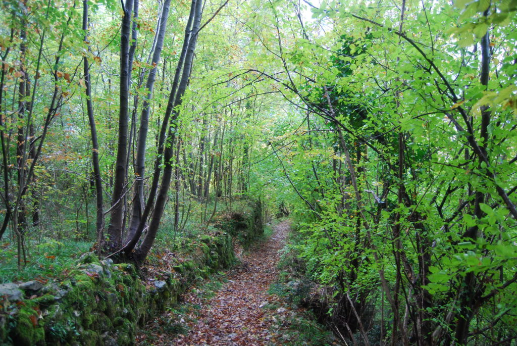
This mule track, also known as La Sannazara, is of historic importance for the valley folk and was constructed, in contrast to other structures on tracks in the vicinity, in a period pre-dating the Great War, as a path connecting the Brenta Valley bottom and the alpine pastures of the Colli Alti.
After a short section on the valley bottom, the track ascends the left catchment slope in a series of hairpin bends, then skirts the summit edge to reach the Pian Castello crag (420 m). The track snakes through meanderings of the rock to rise above the fault line. You head south, above the vertical rock walls of the Aste Rosse and, after passing the path to the village of Merlo (CAI 36) on the right, a flat outcrop begins, which veers away from the upper Merlo valley towards Val Munare, the only passage into the valley. There is a noteworthy religious rock painting here (1000 m). After passing a large cave, the mule track starts to descend quite steeply into the valley, until it runs along the ridge that separates Val di Covolo from Valle Duregoni. The last few bends bring you to the village of Pianari (230 m). From here, following the surfaced road southwards, you come back to the departure point of San Nazario (150 m).